Country · since 1862
Argentine Republic
Argentine Republic appears on the map from 1862 to today. At its greatest recorded extent, in 1885, it covered about 2.79 million km².
One of the realms of Argentina. Buenos Aires deposed its Spanish viceroy in the May Revolution of 1810, and the United Provinces of the Río de la Plata declared independence at Tucumán in 1816. José de San Martín led armies across the Andes to free Chile and Peru, while Paraguay, Bolivia and Uruguay went their own ways.
See Argentine Republic on the map in 1885
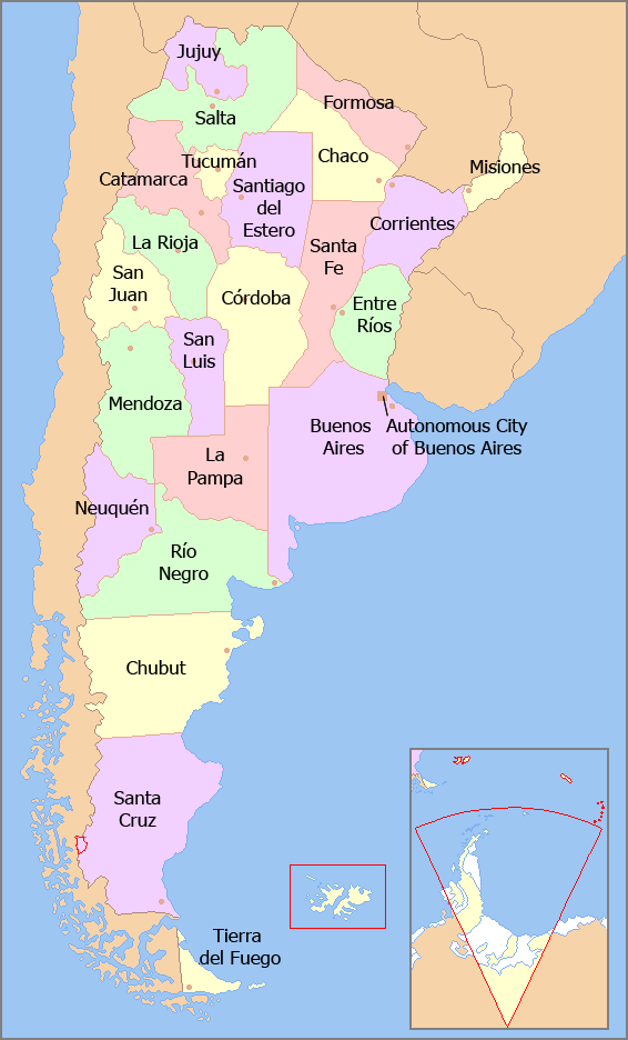
- On the map
- 1862 – today
- Greatest extent
- 1885, about 2.79 million km²
- Read more
- Wikipedia: Argentina · Wikidata Q414
Territory through time
| Years | Area drawn |
|---|---|
| 1862–1864 | 1.60 million km² |
| 1865 | 1.60 million km² |
| 1866–1867 | 1.60 million km² |
| 1868–1869 | 1.72 million km² |
| 1870–1879 | 1.72 million km² |
| 1880–1884 | 2.00 million km² |
| 1885–1904 | 2.79 million km² |
| 1905–1928 | 2.79 million km² |
| 1929 | 2.79 million km² |
| 1930–1935 | 2.79 million km² |
| 1936–1991 | 2.79 million km² |
| since 1992 | 2.78 million km² |
Related
- Argentina empire