Realm · approximate borders · 963–1259
County of Luxembourg
The county grew from the castle Count Siegfried acquired in 963; the title count of Luxembourg is used from Conrad I (1059). Later a duchy (1354).
See County of Luxembourg on the map in 963
- On the map
- 963–1259
- Capital
- Luxembourg
Rulers named in the sources
- Siegfried 963–998
- Conrad I 1059–1086
- Ermesinde 1197–1247
- Henry V the Blond 1247–1281
Western and central European states, 430–1956
States of western and central Europe: the Irish kingdoms of Meath, Osraige, Breifne, Thomond, Desmond and Tyrconnell, Pictish Fortriu, the Welsh kingdoms of Dyfed, Ceredigion and Deheubarth, Elmet, the taifas of Málaga, Majorca and Menorca, the prince-bishoprics of Liège and Utrecht, Guelders, Brabant, Namur, Limburg, Luxembourg, Cleves and Jülich, Bar and Provence, the Electoral Palatinate, Mainz, Hesse, the Welf principalities, Württemberg, Baden, Ansbach, Bayreuth, Nuremberg, Salzburg, Meissen, Saxe-Wittenberg, Saxe-Lauenburg, Oldenburg and Pomerania, the Visconti, Gonzaga, Este, Montefeltro and Appiani states, Siena, Lucca and Gaeta, and in the 20th century the four occupation zones of Germany, the Saar Protectorate and the Free Territory of Trieste.
Sources
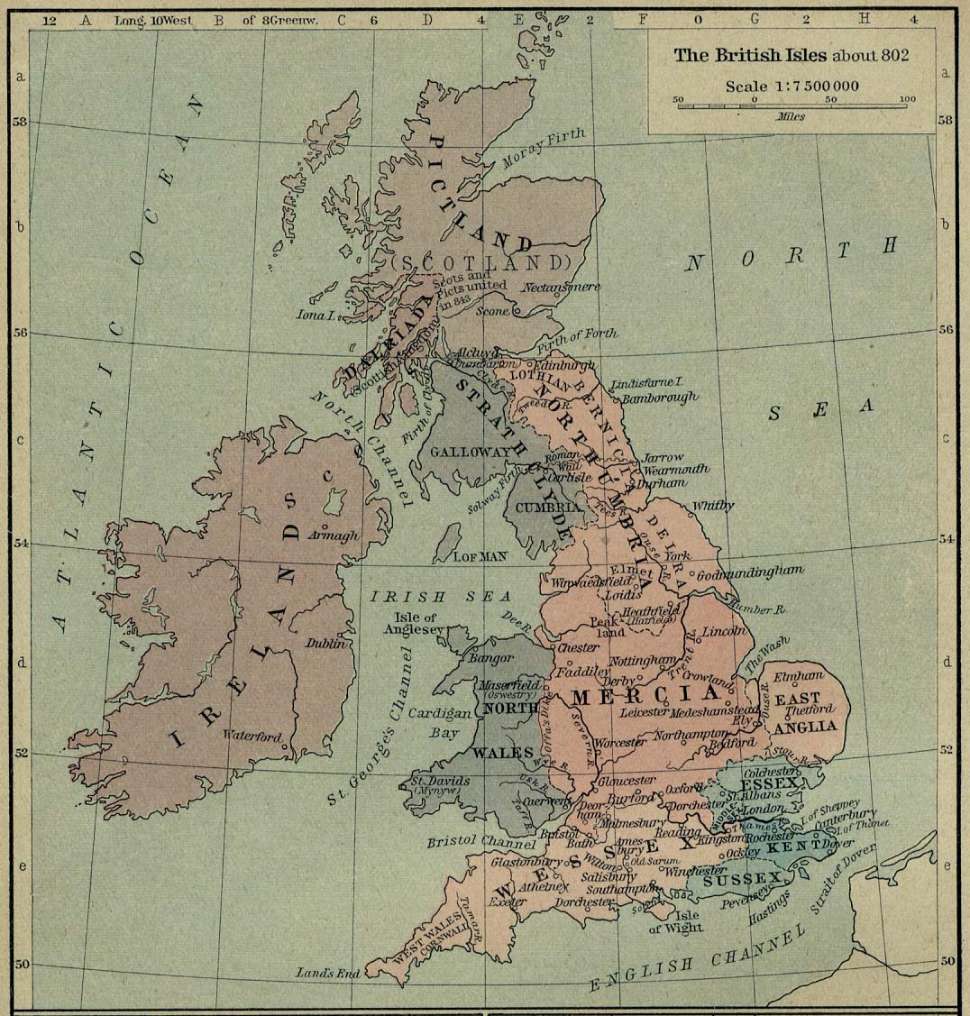
- W. R. Shepherd, Historical Atlas (1923): The British Isles about 802
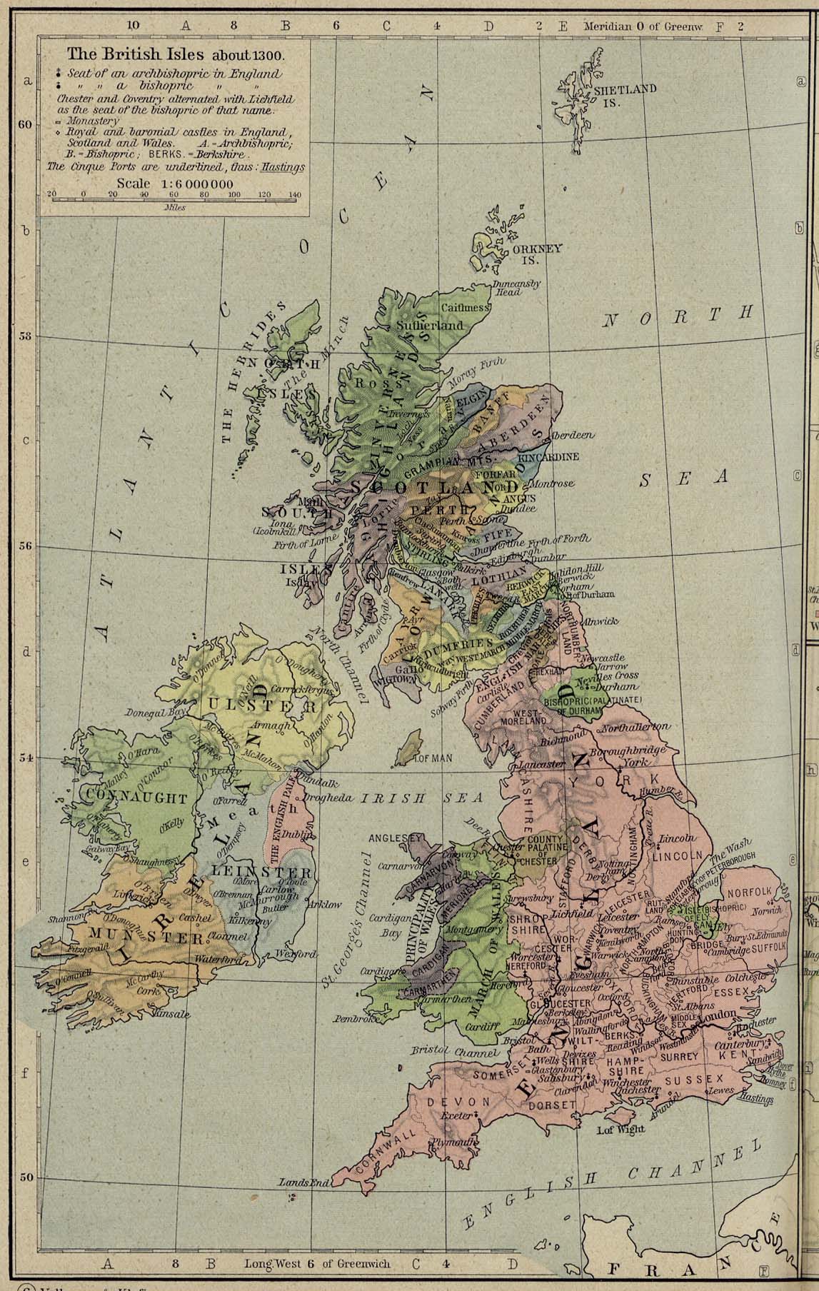
- W. R. Shepherd, Historical Atlas (1923): The British Isles about 1300
- W. R. Shepherd, Historical Atlas (1923): Britain about 600
- W. R. Shepherd, Historical Atlas (1923): Spain 910–1492
- W. R. Shepherd, Historical Atlas (1923): Central Europe 919–1125
- W. R. Shepherd, Historical Atlas (1923): Italy about 1050
- W. R. Shepherd, Historical Atlas (1923): Central Europe about 1378
- W. R. Shepherd, Historical Atlas (1923): Wettin lands 1221–1485
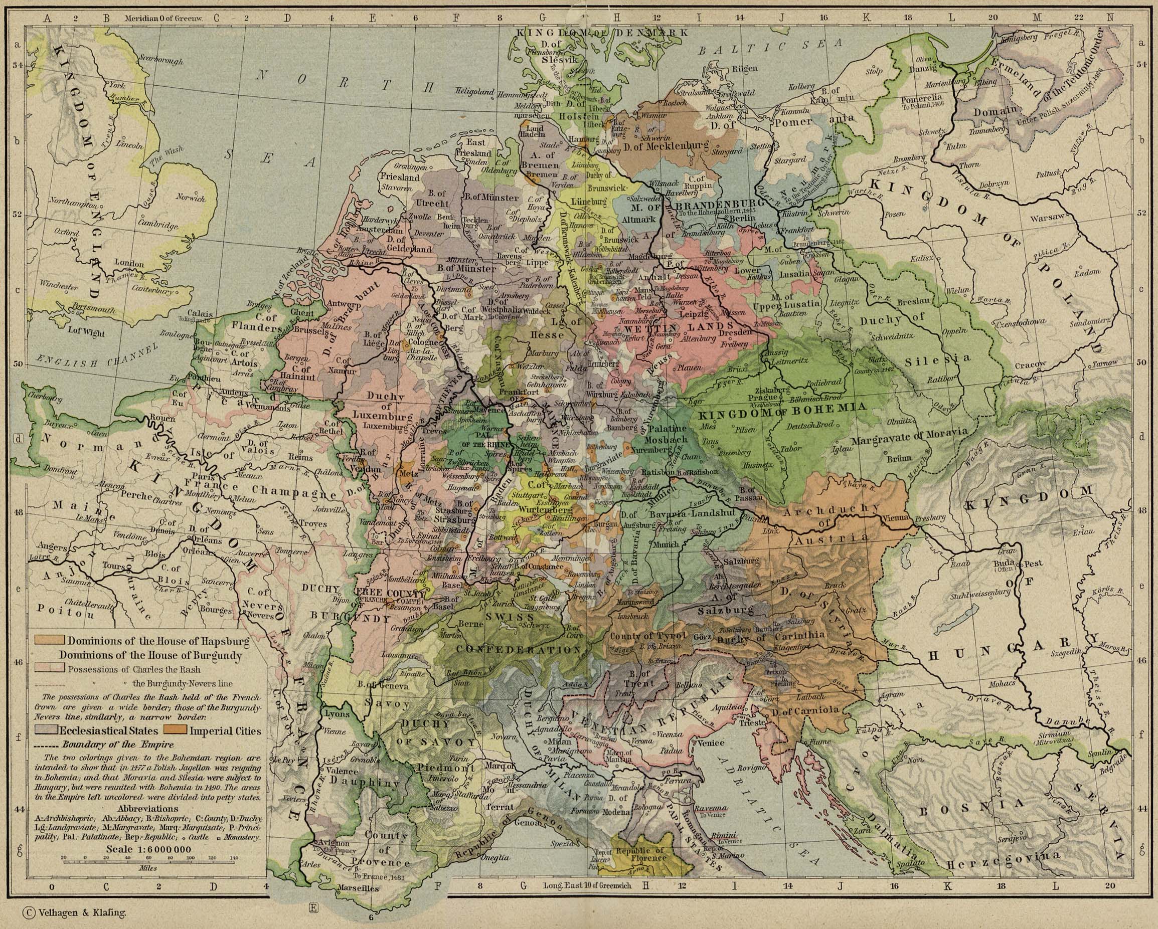
- W. R. Shepherd, Historical Atlas (1923): Central Europe about 1477
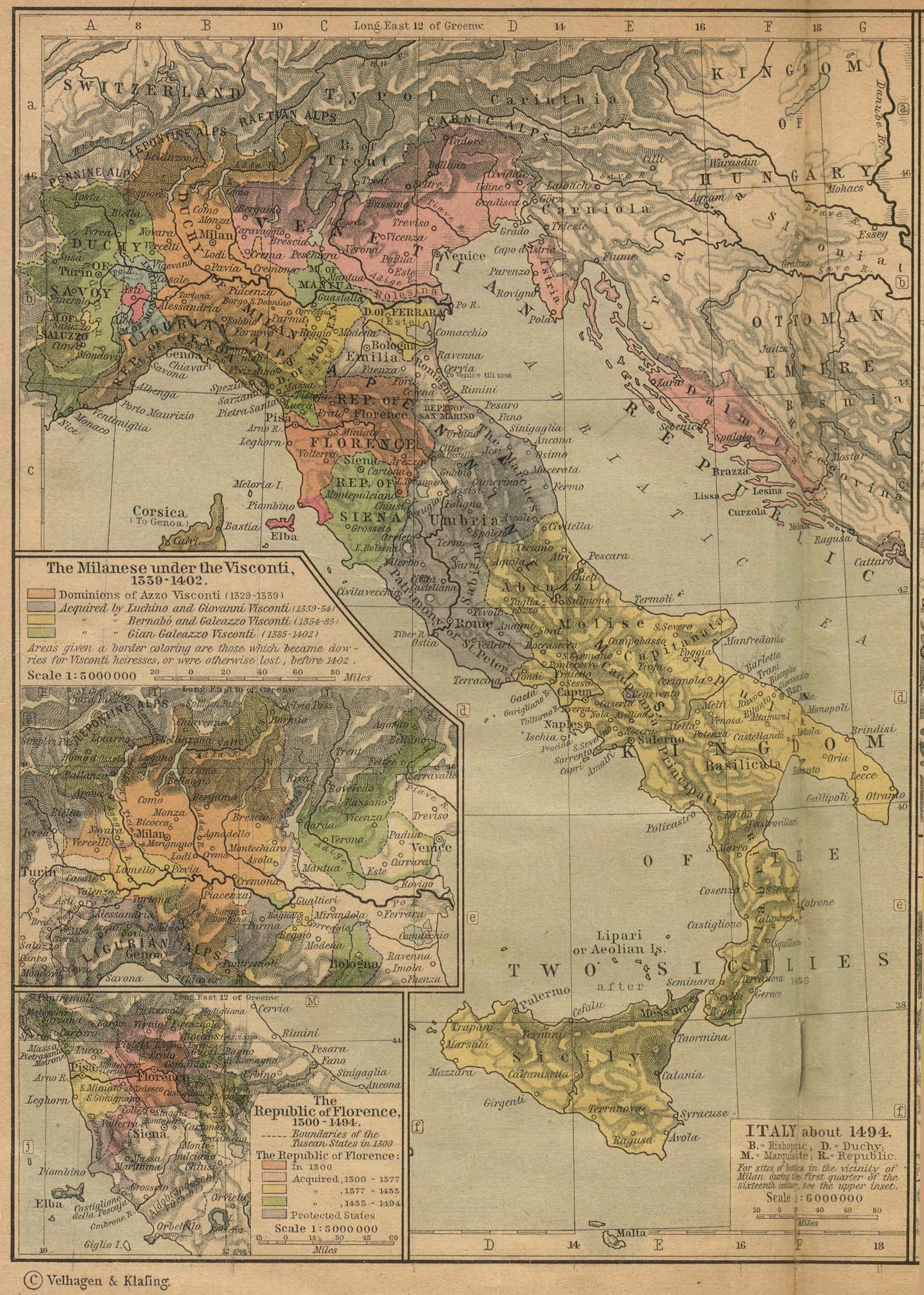
- W. R. Shepherd, Historical Atlas (1923): Italy about 1494
- W. R. Shepherd, Historical Atlas (1923): Central Europe about 1547
- W. R. Shepherd, Historical Atlas (1923): The Netherlands 1559–1608
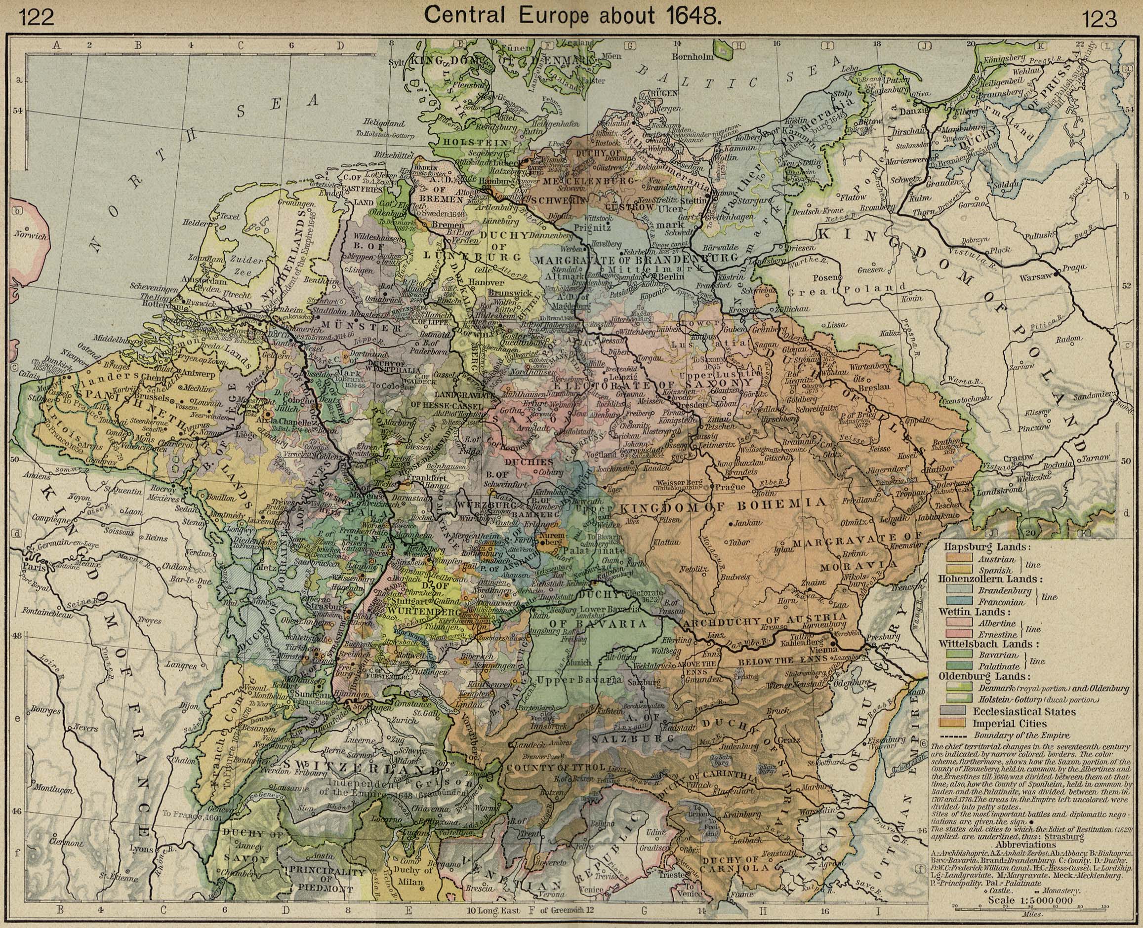
- W. R. Shepherd, Historical Atlas (1923): Central Europe about 1648
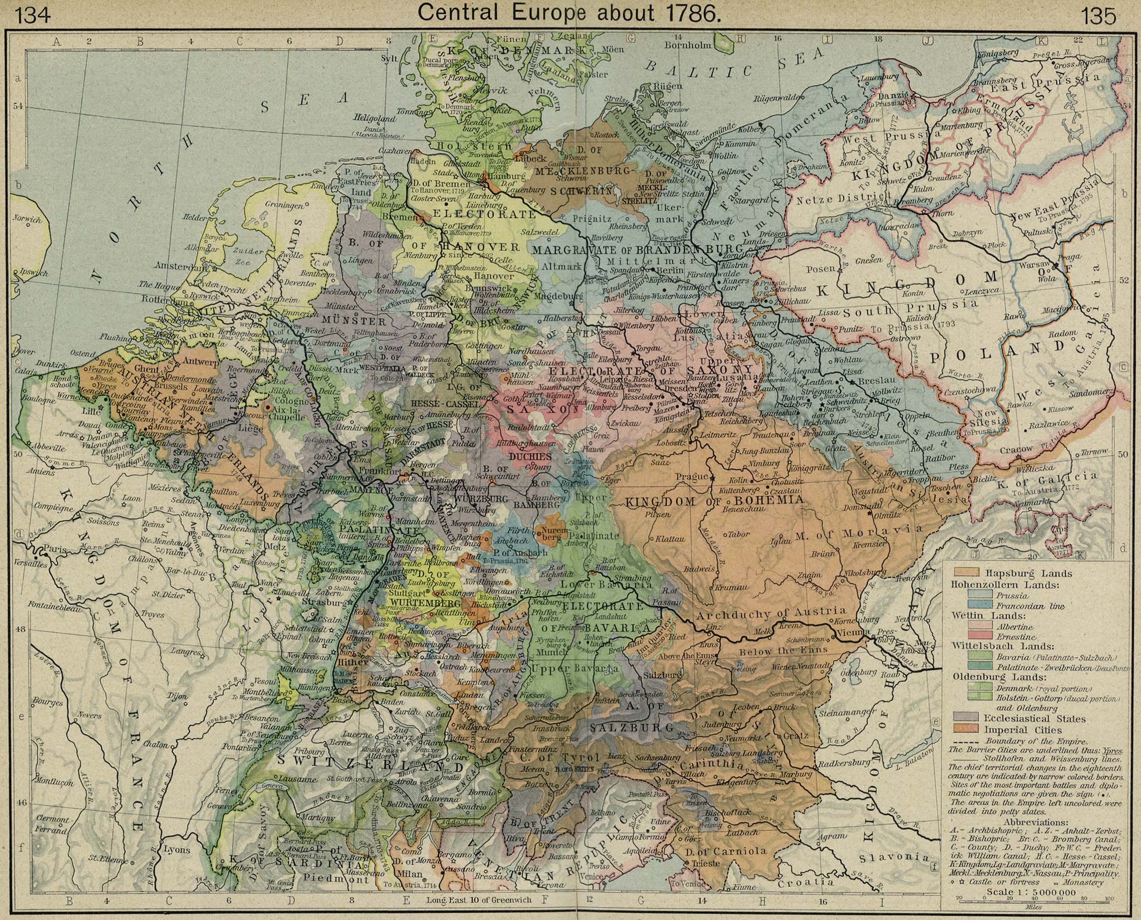
- W. R. Shepherd, Historical Atlas (1923): Central Europe about 1786
- Wikipedia: Kingdom of Meath
- Wikipedia: Osraige
- Wikipedia: Kingdom of Breifne
- Wikipedia: Thomond
- Wikipedia: Kingdom of Desmond
- Wikipedia: Tyrconnell
- Wikipedia: Fortriu
- Wikipedia: Kingdom of Dyfed
- Wikipedia: Kingdom of Ceredigion
- Wikipedia: Deheubarth
- Wikipedia: Kingdom of Elmet
- Wikipedia: Taifa of Málaga
- Wikipedia: Taifa of Majorca
- Wikipedia: Taifa of Menorca
- Wikipedia: Prince-Bishopric of Liège
- Wikipedia: Duchy of Brabant
- Wikipedia: Duchy of Guelders
- Wikipedia: Prince-Bishopric of Utrecht
- Wikipedia: County of Namur
- Wikipedia: Duchy of Limburg
- Wikipedia: County of Luxembourg
- Wikipedia: Duchy of Cleves
- Wikipedia: Duchy of Jülich
- Wikipedia: United Duchies of Jülich-Cleves-Berg
- Wikipedia: Duchy of Bar
- Wikipedia: County of Provence
- Wikipedia: Electoral Palatinate
- Wikipedia: Electorate of Mainz
- Wikipedia: Landgraviate of Hesse
- Wikipedia: Duchy of Brunswick-Lüneburg
- Wikipedia: Principality of Lüneburg
- Wikipedia: Principality of Brunswick-Wolfenbüttel
- Wikipedia: Principality of Calenberg
- Wikipedia: Saxe-Lauenburg
- Wikipedia: County of Oldenburg
- Wikipedia: County of Württemberg
- Wikipedia: Duchy of Württemberg
- Wikipedia: Margraviate of Baden-Durlach
- Wikipedia: Margraviate of Baden-Baden
- Wikipedia: Margraviate of Baden
- Wikipedia: Principality of Ansbach
- Wikipedia: Principality of Bayreuth
- Wikipedia: Free Imperial City of Nuremberg
- Wikipedia: Prince-Archbishopric of Salzburg
- Wikipedia: Margravate of Meissen
- Wikipedia: Saxe-Wittenberg
- Wikipedia: Duchy of Pomerania
- Wikipedia: Allied-occupied Germany
- Wikipedia: Saar Protectorate
- Wikipedia: Lordship of Milan
- Wikipedia: Duchy of Milan
- Wikipedia: Duchy of Mantua
- Wikipedia: Duchy of Ferrara
- Wikipedia: Republic of Siena
- Wikipedia: Republic of Lucca
- Wikipedia: Duchy of Lucca
- Wikipedia: Duchy of Urbino
- Wikipedia: Duchy of Gaeta
- Wikipedia: Principality of Piombino
- Wikipedia: Duchy of Montferrat
- Wikipedia: Free Territory of Trieste