Realm · 1526–1618
Duchy of Prussia
Duchy of Prussia appears on the map from 1526 to 1618. At its greatest recorded extent, in 1526, it covered about 38,518 km².
One of the realms of Prussia (Brandenburg-Prussia). Prussia became a duchy in 1525, when Albert of Hohenzollern, Grand Master of the Teutonic Knights, turned Lutheran and secularised their lands. In 1618 it passed to his relatives, the electors of Brandenburg, and Frederick William the Great Elector forged their scattered territories into a disciplined state with a standing army.
See Duchy of Prussia on the map in 1526
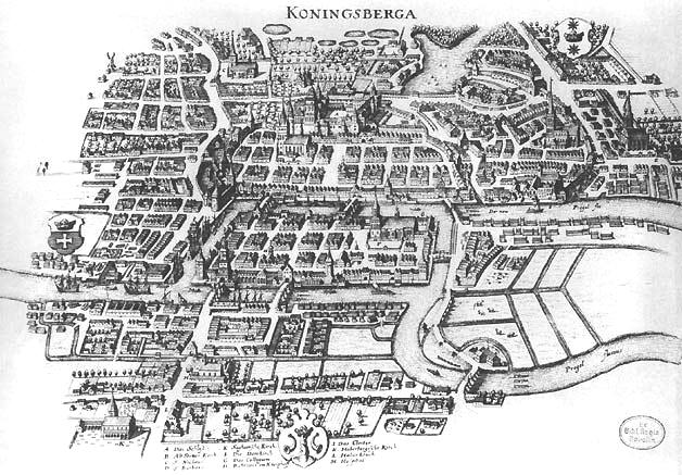
- On the map
- 1526–1618
- Greatest extent
- 1526, about 38,518 km²
- Read more
- Wikipedia: Duchy of Prussia · Wikidata Q153091
Territory through time
| Years | Area drawn |
|---|---|
| 1526–1611 | 38,518 km² |
| 1612–1618 | 38,518 km² |