Realm · 1333–1458
Earldom of Desmond
Earldom of Desmond appears on the map from 1333 to 1458. At its greatest recorded extent, in 1395, it covered about 20,188 km².
See Earldom of Desmond on the map in 1395
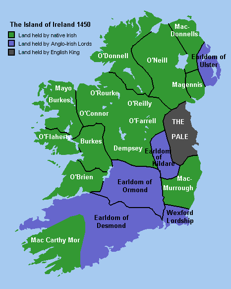
- On the map
- 1333–1458
- Greatest extent
- 1395, about 20,188 km²
- Part of
- Kingdom of England
- Read more
- Wikipedia: Earl of Desmond · Wikidata Q2991012
Territory through time
| Years | Area drawn |
|---|---|
| 1333–1351 | 2,376 km² |
| 1352–1384 | 12,998 km² |
| 1385–1394 | 14,800 km² |
| 1395–1421 | 20,188 km² |
| 1422–1452 | 6,858 km² |
| 1453–1458 | 6,858 km² |