Realm · 1822–1889
Empire of Brazil
Empire of Brazil appears on the map from 1822 to 1889. At its greatest recorded extent, in 1870, it covered about 8.51 million km².
One of the realms of Empire of Brazil and Brazil. When Napoleon invaded Portugal in 1807, the Portuguese royal family fled to Rio de Janeiro, which became the capital of the whole empire. After King João VI returned to Lisbon, his son Pedro declared Brazil independent in 1822 and became its emperor.
See Empire of Brazil on the map in 1870
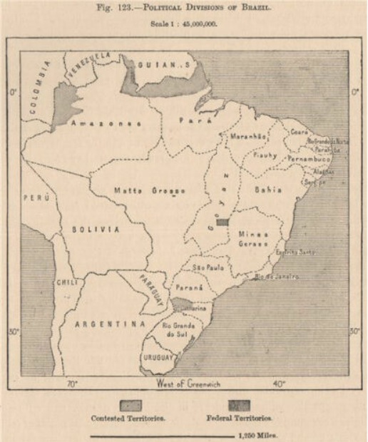
- On the map
- 1822–1889
- Greatest extent
- 1870, about 8.51 million km²
- Read more
- Wikipedia: Empire of Brazil · Wikidata Q217230
Territory through time
| Years | Area drawn |
|---|---|
| 1822–1823 | 7.99 million km² |
| 1824 | 7.99 million km² |
| 1825–1827 | 8.00 million km² |
| 1828–1833 | 7.82 million km² |
| 1834–1835 | 7.82 million km² |
| 1836–1839 | 7.52 million km² |
| 1840–1845 | 7.53 million km² |
| 1846–1852 | 7.82 million km² |
| 1853–1864 | 8.02 million km² |
| 1865 | 7.96 million km² |
| 1866–1867 | 8.02 million km² |
| 1868–1869 | 8.47 million km² |
| 1870–1876 | 8.51 million km² |
| 1877–1884 | 8.36 million km² |
| 1885–1889 | 8.36 million km² |
Related
- Empire of Brazil and Brazil empire
- Paraguayan War (War of the Triple Alliance) 12 November 1864 – 1 March 1870