Realm · 1502–1599
First Toungoo Empire
First Toungoo Empire appears on the map from 1502 to 1599. At its greatest recorded extent, in 1579, it covered about 1.48 million km².
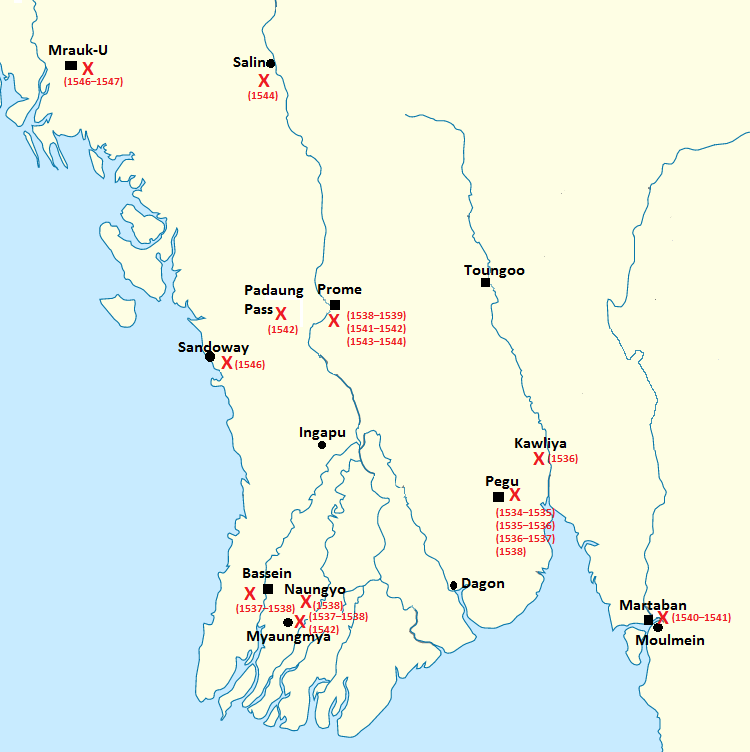
One of the realms of Toungoo Empire (Burma). The Toungoo dynasty began in the small principality of Taungoo, which grew strong as refugees fled wars elsewhere in Burma. King Tabinshwehti, from 1530, united Upper and Lower Burma and took the Mon port of Pegu, using Portuguese mercenaries and firearms.
See First Toungoo Empire on the map in 1579
- On the map
- 1502–1599
- Greatest extent
- 1579, about 1.48 million km²
Territory through time
| Years | Area drawn |
|---|---|
| 1502–1528 | 59,140 km² |
| 1529–1539 | 59,334 km² |
| 1540–1546 | 107,814 km² |
| 1547–1551 | 237,415 km² |
| 1552–1555 | 189,739 km² |
| 1556–1563 | 272,753 km² |
| 1564–1571 | 759,464 km² |
| 1572–1578 | 1.12 million km² |
| 1579–1587 | 1.48 million km² |
| 1588–1594 | 704,139 km² |
| 1595–1599 | 653,670 km² |
Related
- Toungoo Empire (Burma) empire