Realm · 1864
Mexican Monarchists
Mexican Monarchists appears on the map from 1864 to 1864. At its greatest recorded extent, in 1864, it covered about 232,312 km².
One of the realms of Mexico. Mexico's war of independence began with the priest Miguel Hidalgo's call to revolt in 1810 and ended in 1821, when the royalist officer Agustín de Iturbide joined the rebels; he briefly reigned as emperor, and Central America broke away in 1823. The young republic was unstable, and under the strongman Santa Anna it lost Texas in 1836 and, after war with the United States in 1846–48, about half its territory.
See Mexican Monarchists on the map in 1864
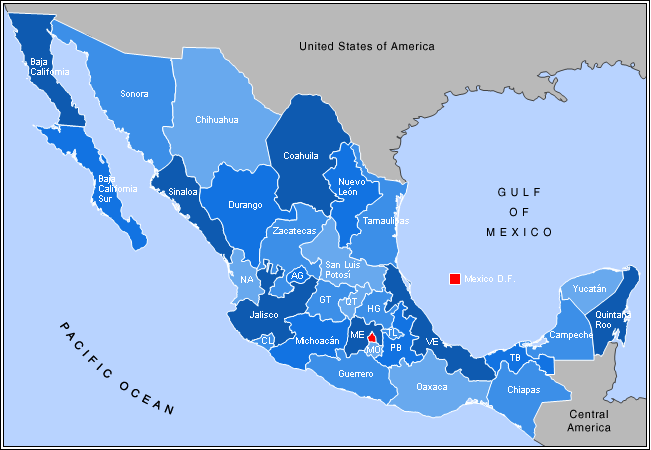
- On the map
- 1864
- Greatest extent
- 1864, about 232,312 km²
Territory through time
| Years | Area drawn |
|---|---|
| 1864 | 232,312 km² |
Related
- Mexico empire