Country · since 1956
Republic of Sudan
Republic of Sudan appears on the map from 1956 to today. At its greatest recorded extent, in 1992, it covered about 2.49 million km².
See Republic of Sudan on the map in 1992
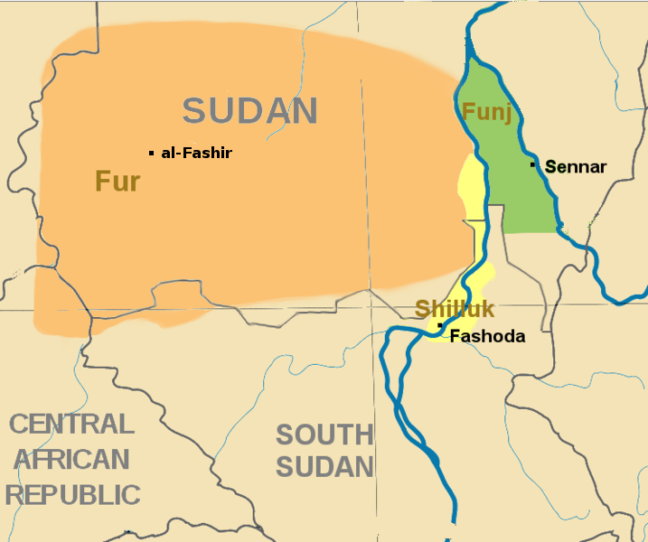
- On the map
- 1956 – today
- Greatest extent
- 1992, about 2.49 million km²
- Read more
- Wikipedia: Sudan · Wikidata Q1049
Territory through time
| Years | Area drawn |
|---|---|
| 1956–1960 | 2.48 million km² |
| 1961–1962 | 2.48 million km² |
| 1963–1991 | 2.48 million km² |
| 1992–2010 | 2.49 million km² |
| since 2011 | 1.86 million km² |