Realm · 1840
Republic of the Rio Grande
Republic of the Rio Grande appears on the map from 1840 to 1840. At its greatest recorded extent, in 1840, it covered about 300,402 km².
See Republic of the Rio Grande on the map in 1840
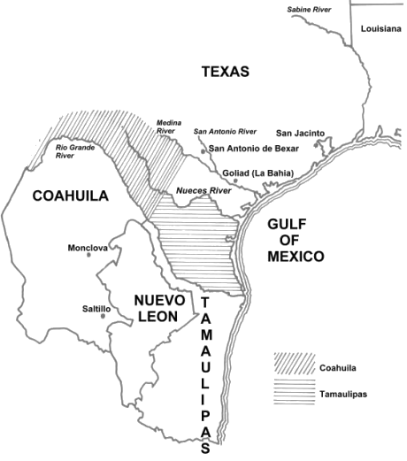
- On the map
- 1840
- Greatest extent
- 1840, about 300,402 km²
Territory through time
| Years | Area drawn |
|---|---|
| 1840 | 300,402 km² |