Realm · 1936–1938
Spanish Nationalists
Spanish Nationalists appears on the map from 1936 to 1938. At its greatest recorded extent, in 1938, it covered about 338,687 km².
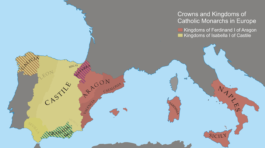
One of the realms of Spanish Empire. Spain's empire grew from the union of Castile and Aragon under Isabella and Ferdinand, who in 1492 conquered Granada and sponsored Columbus's first voyage. Within two generations conquistadors toppled the Aztec and Inca empires, and silver from Potosí and Zacatecas paid for Habsburg wars across Europe, where Charles V and Philip II also ruled the Netherlands, much of Italy and, from 1580 to 1640, Portugal.
See Spanish Nationalists on the map in 1938
- On the map
- 1936–1938
- Greatest extent
- 1938, about 338,687 km²
Territory through time
| Years | Area drawn |
|---|---|
| 1936–1937 | 207,657 km² |
| 1938 | 338,687 km² |
Related
- Spanish Empire empire